Saturday, June 16, 2018

Bonham State Park


We were at Bonham State Park on June 16th enjoying a mild breeze and temperatures in the mid-80's.
The park is 261-acres in size and has rolling prairies and woodlands all around the lake.


This sign shows the lake and various trails in the area. It also gives some information to understand the area better.


Ranger Station and JoAnn


Ranger Station from front. Easy to tell which way the wind blows in this area. Everything tilts to the left including the flagpole.


Ranger Station and pavilion with a view of the lake in the background.


Panorama of Bonham Lake with the pavilion, pier, and boat house in view.


Here's JoAnn sitting at a picnic table viewing the lake. It was fun to sit and just enjoy the area.


Pier on the lake. It's nice to stand out on the pier and view the lake and shoreline.


Looking back at shoreline and boat house.


Cattails were growing along one side of the pier.


About to leave the park but stopped along the way for JoAnn to give scale to the trees which border the park. It was a very nice place to visit and we want to come back.


Trails map for Bonham. There are a large number of trails in such a small area.

Saturday, June 9, 2018

Lake Ray Roberts State Park

The afternoon of June 9th JoAnn and I traveled to Lake Ray Roberts State Park. A popular area which includes a large lake, shorelines from which to swim and fish from, and boat ramps for launching recreational boats. The lake is a 29,350 acre reservoir located 10 miles north of Denton, Texas. It is filled by a tributary of the Trinity River and was named after Ray Roberts in 1980.


We have driven by car to the park and the entrance is shown above. The park has several amenities for visitors. It was an enjoyable experience.


The above is a constructed panorama (with distortion) view of the reservoir. The size of the lake can handle both the swimmer and boat enthusiast easily.

Here is small pier extending a short distance into the lake. JoAnn is taking a view of the lake and shoreline from this vantage point.


The lake has many beaches and this is the main beach of the area. Folks are swimming and taking in the Sun.


JoAnn near the shoreline. The rocks keep erosion down as this lake (like most lakes in Texas) is a source of water for people. Our next stop will be to walk out along the pier (to the right in the photo)


We have walked out along a pier that extends further into the lake. This is one of the views back toward the shoreline.


We've walked out to the end of the longer pier. JoAnn is taking a look around. 


We have driven a bit around the lake to Quail Run Bay. This viewpoint gives a different perspective of the lake.


Another look at Quail Run Bay. This was our first time at the park and it was very enjoyable.  We really had a good time and we will return!


Friday, June 1, 2018

Day Trip to Copper Breaks State Park, TX

Lake Copper Breaks
Panorama of Copper Breaks Lake and part of the park from a trip made June 1, 2018. The park is hilly and wooded and has bike and hiking trails throughout the area. The park has campsites with restrooms. This area actually does have some copper deposits but in not enough quantity to mine. In the past, the park didn't seem to have lots of visitors but recently the attendance seems to have picked up. 


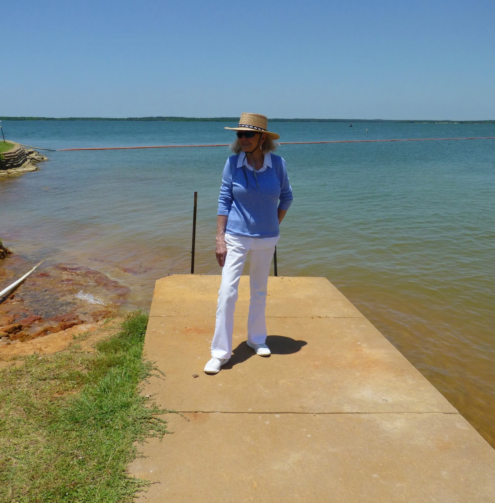
(Left):  Access to the lake is made from a boat ramp located to the far left of the lake in the panorama photo shown above. There is a cement ramp just visible in the left side of the photo to lower boats into the water. The lake is straight ahead in the photo behind the trees on the horizon.


A no-longer working water pump for cattle. To the left of the pump is a trailhead for access to more remote parts of the park. Photo taken with a Canon AE-1 Film Camera.

Big Pond Lake

This lake lies at the far northeast side of the park in a valley that has a trail for access. This lake is out of the way and rarely has crowds. Look just right of center slightly above where the sky meets the green and a very small black V might be seen. The V are the wings of a bird flying around the area.

Trail to Big  Pond Lake

This is the upper portion of the trail from the parking lot and picnic area down to Big Pond Lake. Not much difficulty in navigating the trail to the lake.

Cement Overflow Dam
This is a view of the overflow dam at one end of the lake. It is actually a cement channel about 30 feet long and 10 feet wide that empties into a gully. The concrete dam is quite interesting considering its location; there are no roads leading to it.

Area Near Big Pond Lake
A photo of the area south of Little Pond indicating how bushy the area appears. It wasn't clear this trip if the park service had improved (and increased) the trail signs in the park. In the past, this park was known for not having very many trail signs nor the signs being very informative.

Although we've been to this park several times, it was good to get out and take a break to travel to this area. BTW, the temperature at the park was 101 degrees with somewhat high humidity. Essentially no clouds in the sky. We were thankful to have a wind as it made being outside more bearable. The park is surrounded by ranches which raise cattle and grow crops. It is unlikely this park land would be suitable for such activities.